
Persistent Scatterers Interferometry is applied at provincial / national scales, generating ground displacement and infrastructure stability information at very competitive measurement accuracy and pricing, when compared with any other

CO2 capture and geological storage facilities
admin2020-05-11T16:09:02+00:00On the quest to answering environmental regulation by lowering CO2 emissions in Alberta’s Oil Sands, the Black Gold CO2 storage facility was monitored. Injecting CO2 at high pressure in

Stability of the ground beneath oil and gas refineries
admin2020-05-11T16:04:42+00:00Stability of the refinery’s infrastructure is critical for the movement and storage of oil and gas. Any displacement could lead to cracks in infrastructure and toxic leaks. Unstable areas

3D representation of buildings settlement
admin2020-05-11T16:15:40+00:00Tall buildings could suffer a settlement process with a maximum at the top (red colors), while the base remains stable (green color). The measurement points are illustrated on 3D

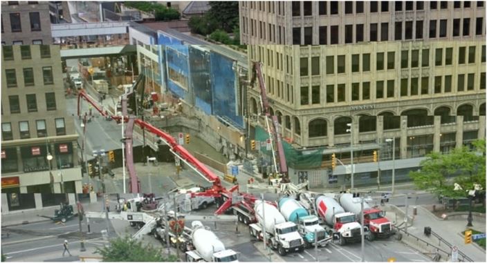
Subsidence from underground excavation
admin2020-05-11T15:25:42+00:00Ottawa is built on a stable bedrock and ground displacement is generally not an issue. With the LRT tunnel started in 2016, ground subsidence became an issue along the

Infrastructure displacement in sedimentary areas
admin2020-05-11T15:26:15+00:00The sedimentary layers of clay and silt that are present in any large river’s basin makes it difficult for the buildings to be built along the shores. This example

Ground displacement map of Bucharest
admin2020-05-11T16:05:17+00:00Measurements with 9 m2 spatial resolution are possible on large swaths (50 x 30 km2) using commercial space missions such as TerraSAR-X, Radarsat-2 and Cosmo-Skymed. At this resolution, every

Coherent Change Detection for Agriculture
admin2020-05-11T16:07:32+00:00SAR amplitude together with CCD (coherent change detection) can be used to detect changes in agricultural areas, such as seeding and harvesting seasons. With polarimetric Sentinel-1 data the agricultural

Water level change measurements using multi-frequency SAR over the Peace Athabasca Delta
admin2020-05-11T16:09:49+00:00The quality of the water level changes/ground displacement measurements with InSAR relies on the quality of the interferometric phase unwrapping product. Phase unwrapping errors are very frequent and often

Water level change measured with L-band ALOS PalSAR over the Danube Delta
admin2020-05-11T16:10:11+00:00In large areas such as deltas, water flows in a complex pattern of directions and velocities, influenced by both water levels and bathymetry. Patterns of water flow