
Solutions
Change detection
InSAR coherence analysis predicts the quality of the monitoring product.
Stability measurements
Ground and infrastructure stability measured with millimeter accuracy.
Wide areas monitoring
Ground displacement and infrastructure stability at national scale.
Visualization tool
Online visualization with address search for rapid dissemination.
Showcase
Get further insight into Kepler’s InSAR solutions to gain valuable information for your oil and gas,
mining, civil engineering and geohazards applications.

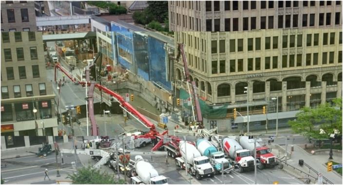
Subsidence from underground excavation
Ottawa is built on a stable bedrock and ground displacement is generally not an issue. With the LRT tunnel started in 2016, ground subsidence became an issue along the

Infrastructure displacement in sedimentary areas
The sedimentary layers of clay and silt that are present in any large river’s basin makes it difficult for the buildings to be built along the shores. This example

3D representation of buildings settlement
Tall buildings could suffer a settlement process with a maximum at the top (red colors), while the base remains stable (green color). The measurement points are illustrated on 3D
Latest news

Research work published in Remote Sensing Special Issue “Advances of Multi-Temporal Remote Sensing in Vegetation and Agriculture Research”
“Detection of Crop Seeding and Harvest through Analysis of Time-Series Sentinel-1 Interferometric SAR Data”, Jiali Shang, Jiangui

The first large scale displacement map of Romania and of the Ottawa-Montreal corridor were produced
March 2020, the first large scale displacement map of Romania and of the Ottawa-Montreal corridor were produced

Published research on Emergency Geomatics Service flood products using SAR techniques
“Evaluation of C-Band SAR for Identification of Flooded Vegetation in Emergency Response Products” , Brian Brisco, Yask
Gallery


