admin2020-05-11T16:15:40+00:00

3D representation of buildings settlement
Tall buildings could suffer a settlement process with a maximum at the top (red colors), while the base remains stable (green color). The measurement points are illustrated on 3D
admin2020-05-11T15:25:42+00:00

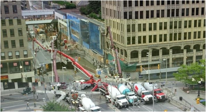
Subsidence from underground excavation
Ottawa is built on a stable bedrock and ground displacement is generally not an issue. With the LRT tunnel started in 2016, ground subsidence became an issue along the
admin2020-05-11T15:26:15+00:00

Infrastructure displacement in sedimentary areas
The sedimentary layers of clay and silt that are present in any large river’s basin makes it difficult for the buildings to be built along the shores. This example
admin2020-05-11T16:05:17+00:00

Ground displacement map of Bucharest
Measurements with 9 m2 spatial resolution are possible on large swaths (50 x 30 km2) using commercial space missions such as TerraSAR-X, Radarsat-2 and Cosmo-Skymed. At this resolution, every